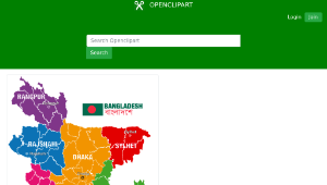
This is a color coded political map of Bangladesh. Each of the seven administrative divisions of Bangladesh; Dhaka, Sylhet, Rajshahi, Chittagong, Rangpur, Barisal, Khulna are color coded.<br/>孟加拉國政治地圖<br/>Bangla、Bangladesh、Bangladesh Map、Bangladesh Political Map、Barisal、Chittagong、Dhaka、Khulna、Map、Map of Bangladesh、Rajshahi、Rangpur、Sylhet<br/>孟加拉、孟加拉國、孟加拉國地圖、孟加拉國政治地圖、巴里薩爾、吉大港、達卡、庫爾納、地圖、孟加拉國地圖、帝制、朗布爾、錫爾赫特<br/>資料來源:openclipart ( https://openclipart.org/ )
修改日期:2026-05-23